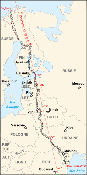
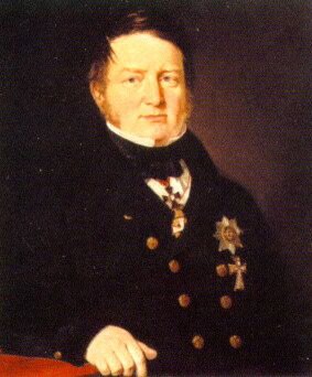
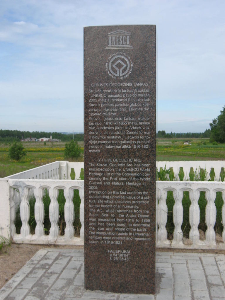
The Struve Geodetic Arc is a chain of survey triangulations stretching from Hammerfest in Norway to the Black Sea, through ten countries and over 2,820 km. These are points of a survey, carried out between 1816 and 1855 by several scientists (surveyors) under leadership of the astronomer Friedrich Georg Wilhelm Struve, which represented the first accurate measuring of a long segment of a meridian. This helped to establish the exact size and shape of our planet and marked an important step in the development of earth sciences and topographic mapping. It is an extraordinary example of the development of sciences and of collaboration among scientists from different countries, as well as monarchs, for a common scientific cause.


The oldest part of Struve Geodetic Arc was formed in 1816–1821 in Vilnius province. Triangulation was designed and measured by the Tsar Army officier of Estonian descent – Carl Tenner (1783-1859). F. G. W. Struve started the arc observations in Livonia by his own. Triangulation chains observed by C. Tenner and F. G. W. Struve were merged in 1829, when triangulation chain between Pandelys (Lithuania) and Bristen (Latvia) was measured. Vilnius University graduate Chodzka (1800-1881) has made main field observations for joining these triangulation chains.
F. G. W. Struve has compiled and described the results of the measurements of triangulation network sections in the work “Arc du Méridien de 25° 20‘ “. On the basis of this work by F.G.W. Struve, in 1888 the length of the meridian of the Earth was computed by the surveyor A. Bonsdorf.
Ten countries were collaborating to prepare the application in order to include Struve Geodetic Arc to the UNESCO World Heritage List. The project was coordinated by National Land Survey of Finland. The Struve Geodetic Arc was listed to the World Heritage List in 2005 following criteria (ii), (iv) and (vi):
Criterion (ii): The first accurate measuring of a long segment of a meridian, helping in the establishment of the exact size and shape of the world exhibits an important step in the development of earth sciences. It is also an extraordinary example for interchange of human values in the form of scientific collaboration among scientists from different countries. It is at the same time an example for collaboration between monarchs of different powers, for a scientific cause.
Criterion (iv): The Struve Geodetic Arc is undoubtedly an outstanding example of a technological ensemble – presenting the triangulation points of the measuring of the meridian, being the non-movable and non-tangible part of the measuring technology.
Criterion (vi): The measuring of the arc and its results are directly associated with humans wondering about their world, its shape and size. It is linked with Sir Isaac Newton’s theory that the world is not an exact sphere.
